
 USA,
USA, USA, District of Columbia
There is evidence throughout the watershed of temporary settlements by Native Americans. These archeological sites, dating from 7000 BCE to the 1600s, include several temporary camps and quarries for weapons and tools. New sites continue to be discovered.
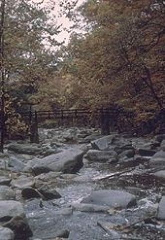
The park contains several other remarkable sites. Along Piney Branch, a tributary of Rock Creek, are large beds of quartzite cobbles that were intensively quarried between 2500 and 2000 BCE. William Henry Holmes of the Smithsonian’s Bureau of Ethnography investigated these quarries in the 1890s, and they played an important role in resolving an early debate about the antiquity of human presence in the Americas. Working in the quarries along Rock Creek, Holmes was able to show that what others took to be ancient hand axes were just the early stages of a manufacturing process that eventually led to finely made spear points. Recent study showed that one of Holmes’ largest quarry sites is still intact in the park. During this project, archeologists found a number of bifaces and a stone ax or maul.
The first known European presence in the area dates to 1703, when a trading post was established at the mouth of Rock Creek in the area we now call Georgetown.
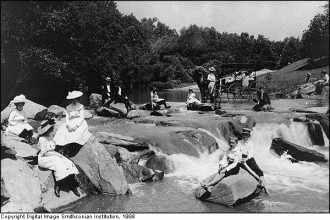
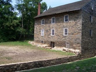
In the early- to mid-1800s, milling thrived in the area. There were six mills in Washington, DC, and further upstream in Maryland 12 mills were established. These mills all relied on Rock Creek’s water, and all impacted the area’s ecosystem. The last mill in the District of Columbia closed down in 1897 (almost 10 years after Rock Creek National Park was founded), and the last in Montgomery County stopped operating in the early 1900s.
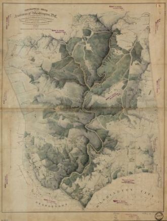
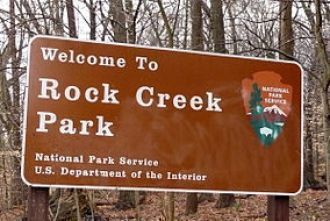
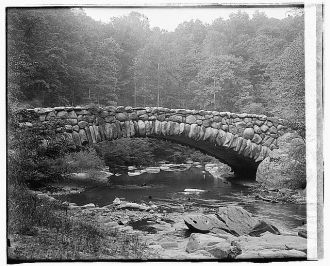
Rock Creek National Park was one of the nation’s first national parks and was established in 1890 through an act of Congress. A dozen years later, Congress recognized that the park was under threat from activities upstream in Maryland and established a regional park system through which the Maryland-National Capital Parks and Planning Commission was born. In 1932, Rock Creek Parkway opened after a great deal of work by the Civilian Conservation Corps.
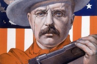
Some famous users of the parks include Presidents Theodore Roosevelt and Woodrow Wilson. Teddy Roosevelt was an avid park visitor and enjoyed horseback riding, taking long and grueling hikes, and even skinny-dipping in the stream! One of his frequent companions was the French ambassador, Jules Jusserand, who was so well loved he is the only person with a memorial dedicated to him in the park. President Wilson wooed his second wife in park. They would play tennis together, drive the parkway, and stop for a picnic.
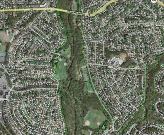
As the Washington area expanded in the 1940s and 1950s, Rock Creek suffered. Large areas that had been forestland and farms were turned into suburban development. Developers built storm drains, but they simply collected the water from streets and parking lots and dumped it into the creek. Rainfall that would have been absorbed by the watershed rushed into the creek, causing massive erosion and flooding. Pollution of the creek became part of a larger problem with pollution in the Potomac River. A small group of concerned citizens organized the Rock Creek Watershed Association in the early 1950s, led by Bernard Frank, Montgomery County resident and one of the founders of the Wilderness Society. The group helped pass zoning provision against harmful construction activities and promoted the construction of two upstream dams, one of which was later named after Mr. Frank.
But with the opening in the early 1960s of the Capital Beltway--which followed Rock Creek for several miles between Connecticut Avenue and Rockville Pike--development continued unabated.
Concerned citizens urged a regional effort to coordinate growth and reduce pollution. In 1964, Montgomery County launched a county-wide planning effort entitled "Wedges and Corridors" that focused urban development along the Rockville Pike-Interstate 270 corridor. The plan emphasized mass transit, although the opening of the Metro system was still two decades away. The plan also urged saving open space in the stream valley "wedges" across the county. This led to the preservation of large tracts of land in the upper Rock Creek watershed.
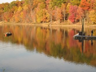
Lakes Needwood and Lake Bernard Frank, located in the upper part of the Rock Creek watershed, were constructed in the 1960s for flood control and recreation. These lakes provide significant water quantity control and water quality benefits, such as sediment control, but they have also had their problems. The earthen dam at Lake Needwood was built more than 50 years ago, and showed signs of erosion during a flood in 2006, prompting evacuation of low-lying homes as far south as Chevy Chase. The lake was drained and the dam was checked for damage. It was refilled and reopened as a recreational site in 2007.
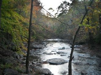
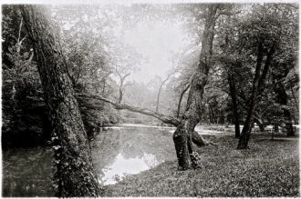
Rock Creek National and Regional Parks have helped with public safety by creating safe overflow areas for typical flooding events, preserved aquatic habitat such as vernal pools and wetlands within the floodplain, and have offered countless recreational opportunities for local residents and park visitors.
Source: http://www.rockcreekconservancy.org/rock-creek-parks/history